Allinmap
Interactive Custom Maps for Your Events
Empower every attendee with rich, navigable event maps: floors, areas, and points of interest at their fingertips.
One App.
Every Event.
Custom Maps.
Allinmap lets event organizers register interactive, fully customizable maps, so every attendee has a powerful navigation tool in their pocket.
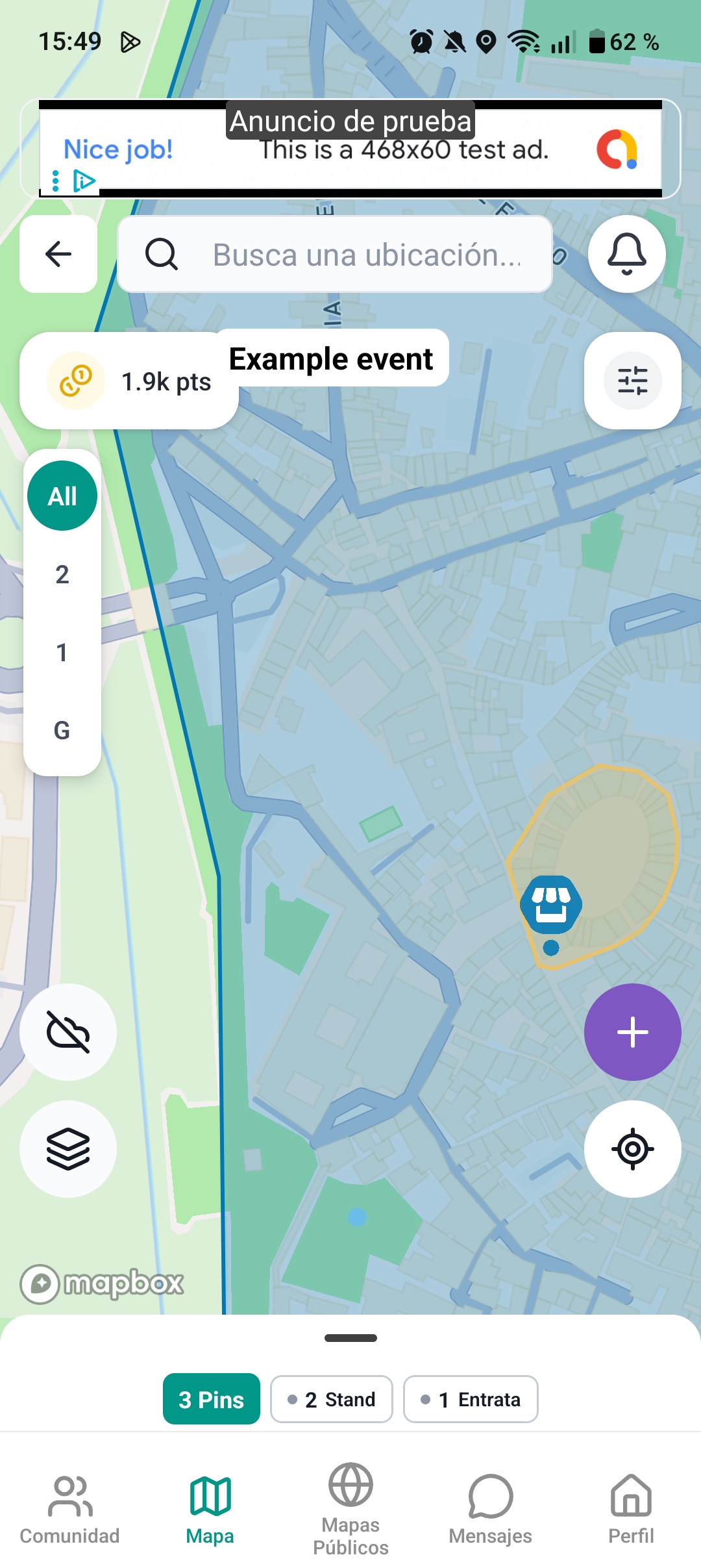
 Custom Polygons
 Marker Clusters
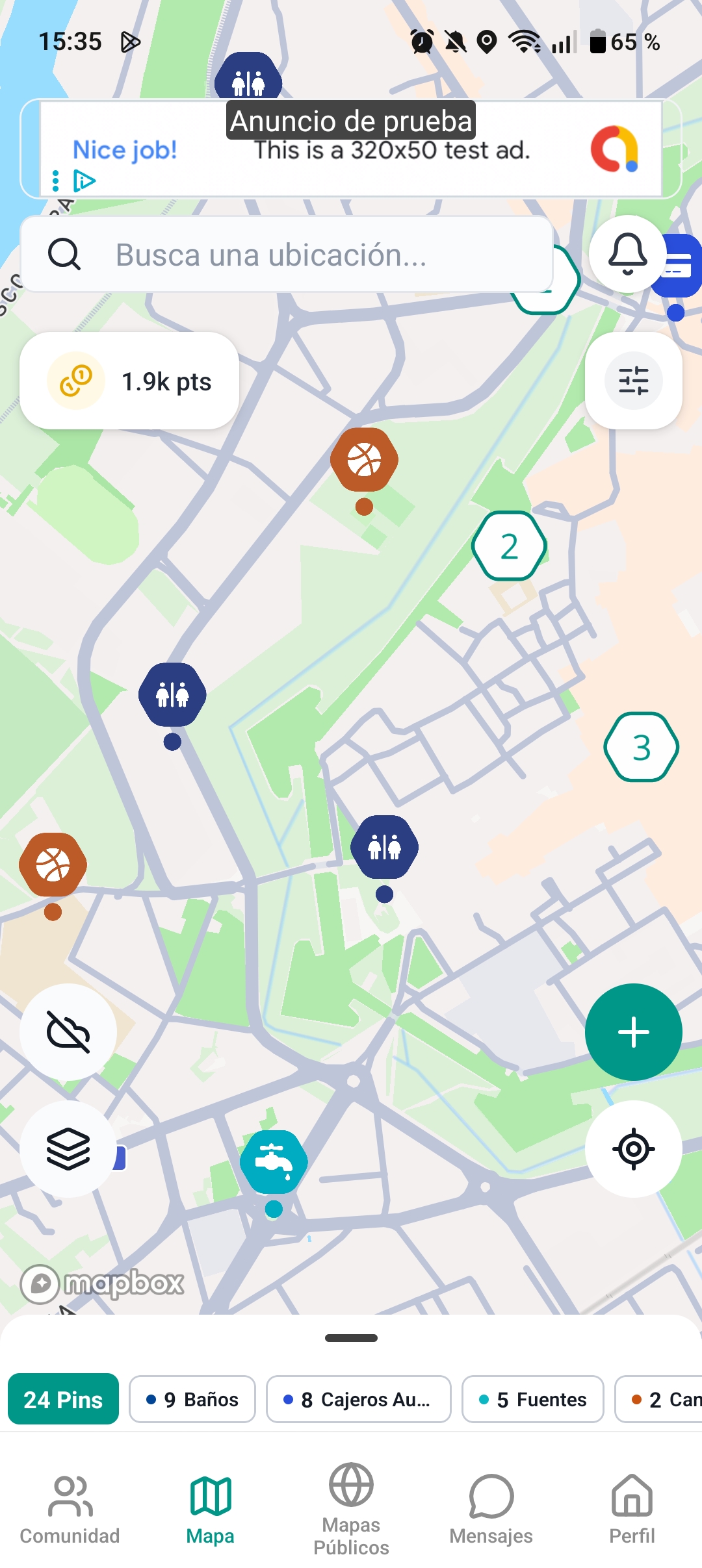
Floors, Polygons & Pins
Three powerful primitives to map any event space
Multi-Floor Support
Navigate complex venues floor by floor. Ground level, basements, upper stories, each with its own markers and layout. Users switch floors with a single tap.
Custom Polygons
Define zones, stages, food courts, or exhibition areas as colored polygons. Attendees see exactly where each area starts and ends, with tap-to-explore details.


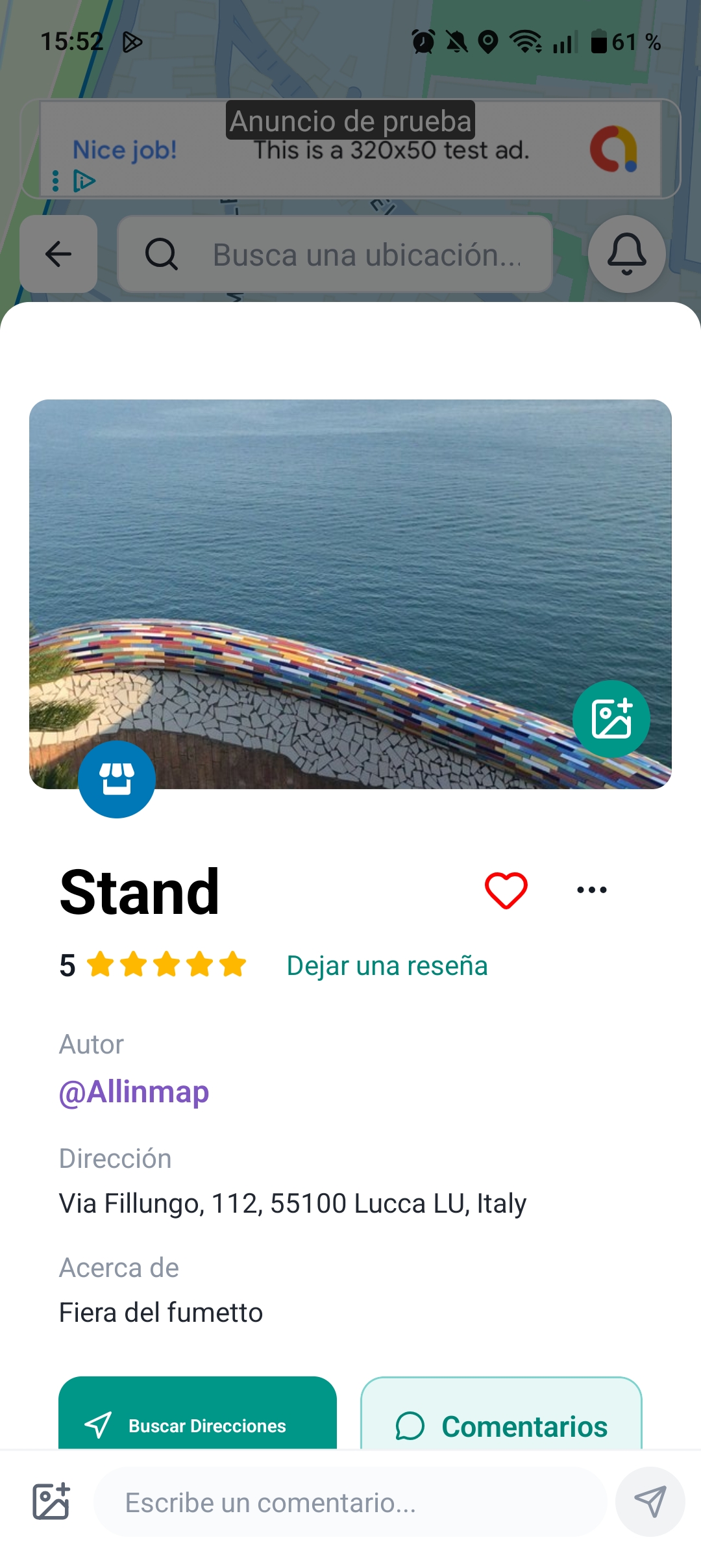
Simple Pins
Drop color-coded pins for booths, restrooms, ATMs, info desks, or anything else. Each pin carries rich details: descriptions, photos, ratings, and directions.


Your Event,
Discovered by
Thousands
Upcoming events registered on Allinmap automatically gain visibility across the entire user base.
-
Push Notifications
Users near your event are notified automatically, driving attendance and awareness.
-
Proximity Alerts
Distance-based alerts ensure the right audience sees your event at the right time.
-
Upcoming Events Feed
A dedicated discovery feed surfaces events to all Allinmap users in the area.
Discover Amenities
Around Every Event
Allinmap's principal map doesn't stop at the event boundary. Attendees can explore the surrounding area to find everything they need.
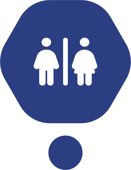
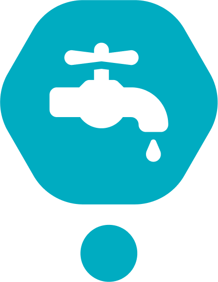
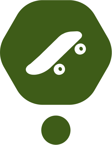
Restrooms Benches Fountains ATMs Skateparks Courts
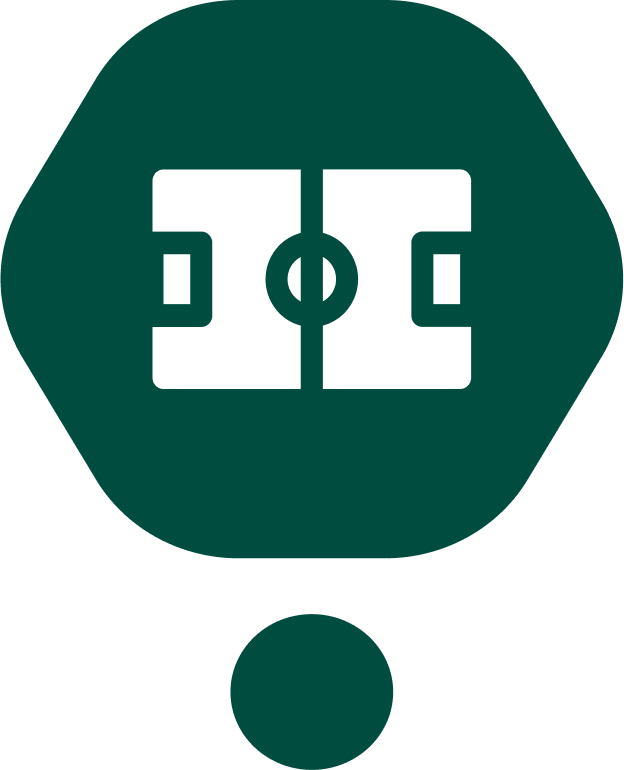 Fields Fitness
 Bins Panoramic
All community-sourced, rated, and verified by real users.
See It in Action
A seamless experience from discovery to navigation
Put Your Event
on the Map
Join Allinmap and give your attendees the navigation experience they deserve: interactive, multi-floor, and rich with detail.